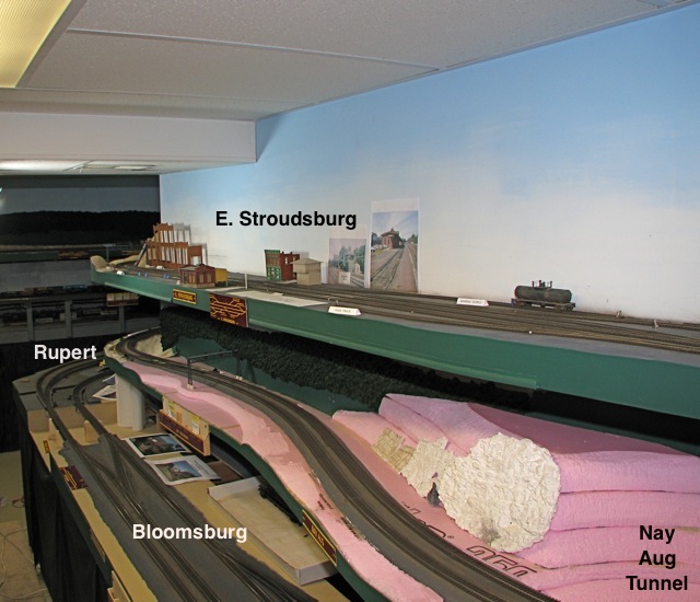
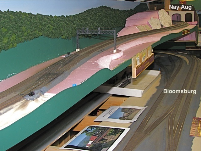
Scranton to Nay Aug
On the middle level in the overview below is the mainline climbing out of Scranton. The upper level is East Stroudsburg, and on lower level is Blooomsburg, with the east end of Rupert in the distance. On the middle level, the mainline continues to climb the grade east from here to the Nay Aug tunnel.
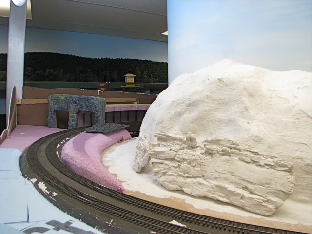
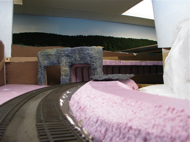
This photo shows
the eastbound approach to the tunnels. There are two bores, but after the west
portal area was washed out by Hurricane Diane in 1955, only one was restored
to use, and the culvert was replaced by the bridge seen in this picture. During
the storm, the culvert became plugged, causing Roaring Brook to back up and
spill over the track here, resulting in a massive washout. As on the prototype,
the grade levels through the tunnels and resumes to the east. The west portals,
shown here, are concrete while the east portals are natural rock.
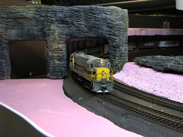
The
east portal was built by sculpting a master from modeling clay, creating a latex
rubber mold, and then casting the final portal in plaster. The original plan
was to use the modeling clay master on the layout, but the clay was not sufficiantly
durable, nor did it take paint or stain well.
Below is the eastern
end of the tunnel. Just visible to the right is the area where Roaring Brook
will be modelled. To either side of the portals were rock cuts, which will be
added, and the right-of-way was separated from Roaring Brook by a small ridge,
the beginnings of which are visible in the center of the picture:
The wider view below
shows Roaring Brook's streambed. in this area, Hurricane Diane did quite a bit
of damage, and even as late as 1975 the area between the tracks and the brook
was riprap and rock rubble: